Transportation Master Plan
UPDATE - November 10, 2022
The City of Revelstoke is pleased to provide the DRAFT Transportation Master Plan for the community to review and provide comment. Please direct all comments to TMP@revelstoke.ca by December 1st, 2022.
To access the Draft Transportation Master Plan documents, please click here.
In short, the Transportation Master Plan (TMP) focuses on the future of the City's roadway network which includes driving lanes, parking areas, transit services and stops, cycling routes, sidewalks or roadside paths, and alternative mobility solutions. While the TMP considers the location of off-street trails for connectivity purposes, it does not extend recommendations into park spaces; a separate Parks and Recreation Master Plan update is currently underway which will address trails within park spaces.
Purpose
The purpose of the TMP is to address key transportation issues, meet current community needs, review the viability of outstanding recommendations from previous plans, and propose implementable projects to help the City manage future growth.
Process
The new Transportation Master Plan (TMP) will be informed by the existing TMP (2012), updated population and movement data, best practices for sustainability and climate change, changing community needs, new forms of transportation mobility, and the new Official Community Plan (OCP) which is currently underway.
Project Goals
- Incorporate feedback received through the Official Community Plan engagement process.
- Align with the OCP's updated vision and community priorities.
- Include SMART goals (specific, measurable, attainable, relevant, and time-specific).
- Establish a general road hierarchy to guide the future update of the City's Subdivision, Development, and Servicing Bylaw.
- Identify implementable projects that will improve the quality of life, safety, and mobility for residents and visitors.
- Prioritize transportation improvements based on mobility needs and improve connectivity.

Who's Listening
-

Phone (250) 837-2922 Email tmp@revelstoke.ca -

Phone (236) 818-6371 Email ian.wilson@stantec.com -

Phone (250) 575-5163

Previous Public Information Session Recordings
-
 This is a recording of the online public information session regarding Phase 4 of the City of Revelstoke's Transportation Master Plan, held online on June 7, 2022 at 6pm.
-
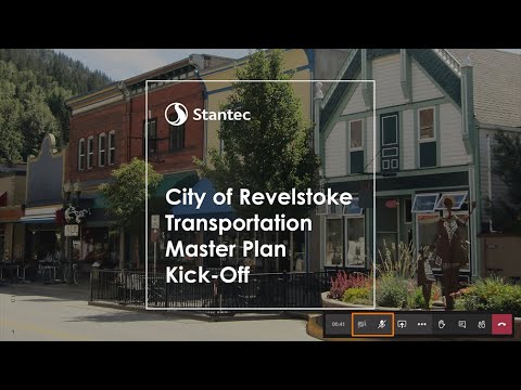 This is a recording of the online public information session regarding the City of Revelstoke's Transportation Master Plan, held online on November 2, 2021 at 6pm.